TOP

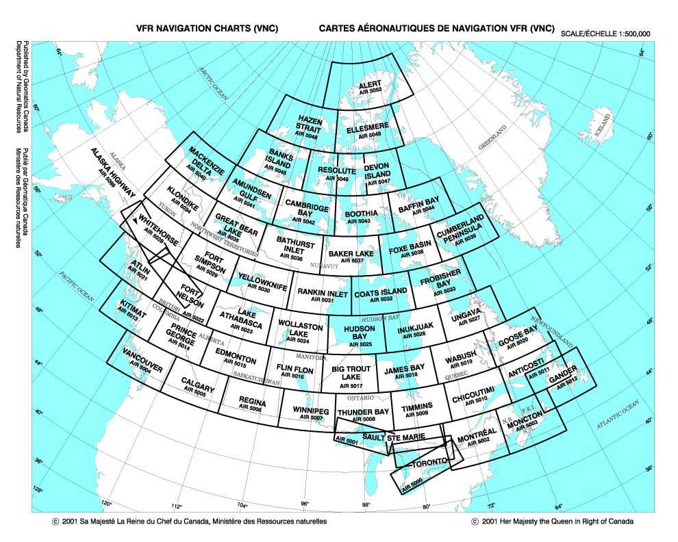
Canada VFR Navigation (Sectional) Charts (VNC)

BACK

Very similar to the US Sectional Charts. The VFR Navigation Chart (VNC) is used by VFR pilots on short to extended cross country flight at low to medium altitudes and at low to medium airspeeds. The chart displays... aeronautical information and sufficient topographic detail to facilitate air navigation through the use of a unique color scheme, layer tinting, and shaded relief. Unlike the US charts, these charts do not have a specific expiration date. They are revised periodically.

Scale 1:500,000

CANADA VFR Navigation (Sectional) Charts (VNC)
Prices for all VFR Navigation Charts:

Our Price: $19.00/each and
FREE Shipping!

AREA

Last Revised

chart options

Alaska Highway

August 2016

Anticosti

June 2016

Atlin

August 2016

Big Trout Lake

January 2016

Calgary

January 2017

Chicoutimi

June 2017

Coats Island

October 2015

Edmonton

January 2017

Flin Flon

July 2015

Fort Nelson

August 2015

Fort Simpson

August 2016

Gander

May 2017

Goose Bay

July 2014

Hudson Bay

January 2016

Inukjuak

October 2015

James Bay

August 2015

Kitmat

July 2015

Lake Athabasca

March 2016

Moncton

May 2017

Montreal

March 2017

Prince George

July 2015

Rankin Inlet

August 2014

Regina

January 2017

Sault Ste Marie

November 2016

Thunder Bay

November 2016

Timmins

January 2016

Toronto

March 2017

Ungava

May 2016

Vancouver

May 2017

Wabush

May 2016

Whitehorse

September 2015

Winnipeg

January 2017

Wollaston Lake

January 2016

Yellowknife

August 2016