Free Shipping!
0-day Money Back Guarantee


-
- List Price:
- Item #41
- PN: SSF
- In Stock
- Free Shipping!
- List Price:
- Item #41
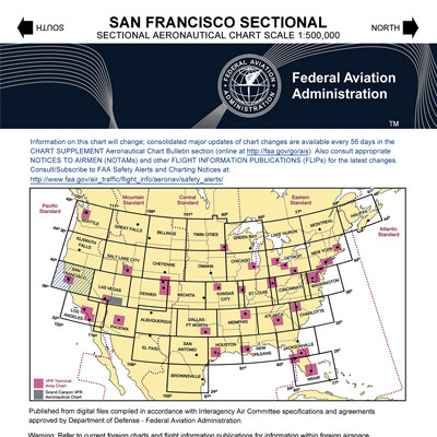
SAN FRANCISCO FAA VFR Sectional Chart
To see the current dates, order a standing order, order the next edition, or view coverage areas visit our FAA VFR Sectional Page.
FAA VFR Sectional Charts are designed for visual navigation of slow to medium speed aircraft. The topographic information consists of contour lines, shaded relief, drainage patterns, and an extensive selection of visual checkpoints and landmarks used for flight under VFR. Cultural features include cities and towns, roads, railroads, and other distinct landmarks. The aeronautical information includes visual and radio aids to navigation, airports, controlled airspace, special-use airspace, obstructions, and related data.
Scale 1 inch = 6.86 nm/1:500,000.
60 x 20 inches folded to 5 x 10 inches.
Revised every 56 days.
To see the current dates, order a standing order,
order the next edition, or view coverage areas visit our
FAA VFR Sectional Page.
Lowest Price Guaranteed!

If you find a better price elsewhere on this product we will Match that price and beat it by 10% of the difference. See Details.
Buy with Confidence!

Purchase today and you can return it in the original condition through Friday, June 12, 2026! See our return policy.
- In Stock
- Free Shipping!
- List Price:
- Item #41
- PN: SSF
VFR: SAN FRANCISCO Sectional Chart Overview:
SAN FRANCISCO FAA VFR Sectional Chart
To see the current dates, order a standing order, order the next edition, or view coverage areas visit our FAA VFR Sectional Page.
FAA VFR Sectional Charts are designed for visual navigation of slow to medium speed aircraft. The topographic information consists of contour lines, shaded relief, drainage patterns, and an extensive selection of visual checkpoints and landmarks used for flight under VFR. Cultural features include cities and towns, roads, railroads, and other distinct landmarks. The aeronautical information includes visual and radio aids to navigation, airports, controlled airspace, special-use airspace, obstructions, and related data.
Scale 1 inch = 6.86 nm/1:500,000.
60 x 20 inches folded to 5 x 10 inches.
Revised every 56 days.
To see the current dates, order a standing order,
order the next edition, or view coverage areas visit our
FAA VFR Sectional Page.
0 CUSTOMER REVIEWS
VFR: SAN FRANCISCO Sectional Chart
0 Reviews
- Be the first to review this product!
3 QUESTIONS & ANSWERS
Previously Asked Questions
-
Tuesday, August 28, 2018
Q: What are the dimensions of the sectional charts?
A: The San Fransisco Sectional Chart is approx. 10.5 inches by 5 inches.
-
Tuesday, August 28, 2018
Q: Does this map include KSJC Norman Y Mineta San Jose Intl?
A: Yes, this chart includes San Jose International.
-
Thursday, March 26, 2015
Q: It appears your sectional charts are really local area charts; i.e. San Francisco "sectional Chart" shows a picture of S.F. area, but not northern California. How do I buy a No. California sectional ?
A: The sectional charts you will need to cover Northern California are VFR SAN FRANCISCO SECTIONAL and VFR KLAMATH FALLS SECTIONAL.
RELATED PRODUCTS

TAC: SAN FRANCISCO VFR Terminal Area Chart
SAN FRANCISCO FAA VFR Terminal Area Chart (TAC)
Customers who bought this also considered:
Lowest Price Guaranteed!
If you find a better price elsewhere on this product we will match that price and beat it by 10% of the difference.
Buy with Confidence!
Purchase today and you can return it in the original condition through Friday, June 12, 2026 ! See our return policy.